
Mapa topográfico Mammoth Lakes
Mapa interactivo
Haga clic en el mapa para ver la altitud.
Acerca de este mapa
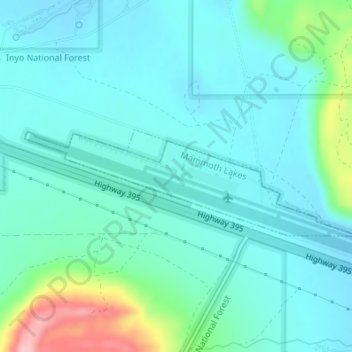
Nombre: Mapa topográfico Mammoth Lakes, altitud, relieve.
Lugar: Mammoth Lakes, Mono County, California, United States (37.62303 -118.86232 37.63121 -118.83448)
Altitud media: 2,184 m
Altitud mínima: 2,154 m
Altitud máxima: 2,312 m
Mammoth Lakes is a town in Mono County, California, the county's only incorporated community. It is located immediately to the east of Mammoth Mountain, at an elevation of 7,880 feet (2,400 m). As of the 2010 United States Census, the population was 8,234, reflecting a 16% increase from the 2000 Census.