
Mapa topográfico Keystone Lake
Mapa interactivo
Haga clic en el mapa para ver la altitud.
Acerca de este mapa
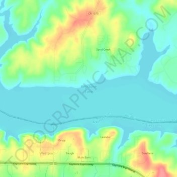
Nombre: Mapa topográfico Keystone Lake, altitud, relieve.
Altitud media: 241 m
Altitud mínima: 218 m
Altitud máxima: 292 m
The spillway is a gated ogee weir, 720 feet (220 m) wide with eighteen tainter gates, each 40 by 35 feet (12 by 11 m). Spillway capacity at the maximum pool level (elevation 766.0 feet (233.5 m)) is 939,000 cubic feet per second (26,600 m3/s). Capacity at the top of the flood control pool level (elevation 754.0 feet (229.8 m)) is 565,000 cubic feet per second (16,000 m3/s). The spillway also has nine sluices, each 5.67 by 10 feet (1.73 by 3.05 m).