
Mapa topográfico Ludhiana
Mapa interactivo
Haga clic en el mapa para ver la altitud.
Acerca de este mapa
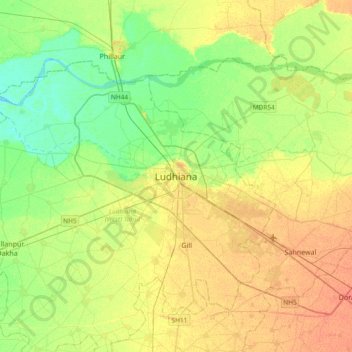
Nombre: Mapa topográfico Ludhiana, altitud, relieve.
Altitud media: 247 m
Altitud mínima: 231 m
Altitud máxima: 264 m
Ludhiana is located at 30°54′N 75°51′E / 30.9°N 75.85°E / 30.9; 75.85. It has an average elevation of 244 metres (801 ft). Ludhiana City, to its residents, consists of the Old City and the New City. The new city primarily consists of the Civil Lines area which was historically known as the residential and official quarters of the colonial British encampment.
Otros mapas topográficos
Haga clic en un mapa para ver su topografía, su altitud y su relieve.
Rania
India > Punjab > Ludhiana (West) Tahsil
Rania, Ludhiana (West) Tahsil, Ludhiana, Punjab, India
Altitud media: 254 m