
Mapa topográfico Aztec
Mapa interactivo
Haga clic en el mapa para ver la altitud.
Acerca de este mapa
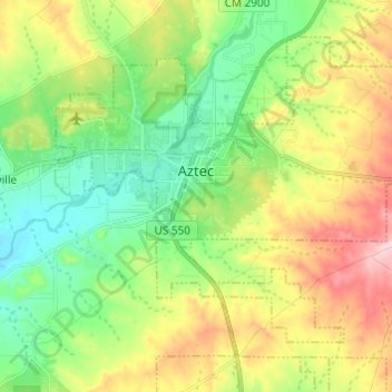
Nombre: Mapa topográfico Aztec, altitud, relieve.
Lugar: Aztec, San Juan County, New Mexico, 87410, United States (36.77639 -108.03648 36.85535 -107.91504)
Altitud media: 1,776 m
Altitud mínima: 1,682 m
Altitud máxima: 1,934 m
Yet another area managed by the BLM, this area was formed about the same time as the Bisti and Ah-Shi-Sle-Pah. This region offers a uniquely different scale of landscape. Hoodoo in this region are massive and the terrain much greater in elevation differences, thereby exposing a greater geological time frame than the Bisti or Ah-Shi-Sle-Pah. This region is a bit more accessible due to oil field roads traversing the region. However, extreme caution is required when driving on as these roads as they are impassible when wet.