
Mapa topográfico Benbecula
Haga clic en el mapa para ver la altitud.
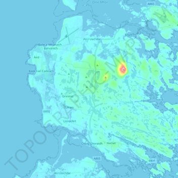
Benbecula
There is a dense cluster of lochs across almost the entire island, and almost the whole island is below 20 metres (70 feet) in elevation.
Acerca de este mapa
Nombre: Mapa topográfico Benbecula, altitud, relieve.
Lugar: Benbecula, Torlum, Western Isles, Scotland, United Kingdom (57.39877 -7.41201 57.49408 -7.19778)
Altitud media: 5 m
Altitud mínima: -4 m
Altitud máxima: 122 m