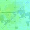
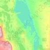
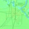
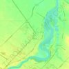
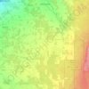
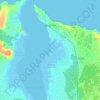
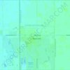
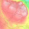
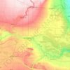
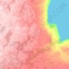
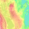
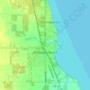
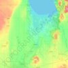
Mapa topográfico Gimli
Haga clic en el mapa para ver la altitud.
Acerca de este mapa

Nombre: Mapa topográfico Gimli, altitud, relieve.
Lugar: Gimli, Manitoba, R0C 1B0, Canada (50.59231 -97.02811 50.67231 -96.94811)
Altitud media: 221 m
Altitud mínima: 215 m
Altitud máxima: 241 m
Otros mapas topográficos
Haga clic en un mapa para ver su topografía, su altitud y su relieve.
Winnipeg
Winnipeg lies at the bottom of the Red River Valley, a flood plain with an extremely flat topography. It is on the eastern edge of the Canadian Prairies in Western Canada and is known as the "Gateway to the West". Winnipeg is bordered by tallgrass prairie to the west and south and the aspen parkland to the…
Altitud media: 236 m




Turtle Mountain Provincial Park
Canada > Manitoba > Municipality of Boissevain – Morton
Turtle Mountain Provincial Park is situated on the Turtle Mountain (plateau), one of a number of significant geographic features located along the Manitoba Escarpment, the Canadian portion of the Pembina Escarpment. It is located in the Southwest Manitoba Uplands Ecoregion, within the Canadian Prairies. The…
Altitud media: 662 m


Spruce Woods Provincial Park
Canada > Manitoba > Division No. 7 > Municipality of Glenboro – South Cypress
Altitud media: 357 m

Riding Mountain National Park
Canada > Manitoba > Unorganized Division No. 17 > Wasagaming
Riding Mountain Biosphere Reserve covers 15,000 square kilometers of land in South-western Manitoba, with the core area, Riding Mountain National Park (RMNP), covering nearly 3,000 square kilometers. It is some 300 km northwest of Winnipeg, Manitoba. The local climate is cool and moist due to a higher…
Altitud media: 488 m