
Mapa topográfico Brabourne Lees
Mapa interactivo
Haga clic en el mapa para ver la altitud.
Acerca de este mapa
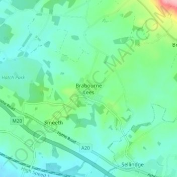
Nombre: Mapa topográfico Brabourne Lees, altitud, relieve.
Lugar: Brabourne Lees, Ashford, Kent, England, TN25 6QG, United Kingdom (51.10576 0.95256 51.14576 0.99256)
Altitud media: 73 m
Altitud mínima: 44 m
Altitud máxima: 179 m
Otros mapas topográficos
Haga clic en un mapa para ver su topografía, su altitud y su relieve.
Kenardington
United Kingdom > England > Kent > Ashford
Kenardington, Ashford, Kent, England, United Kingdom
Altitud media: 16 m