
Mapa topográfico Whapmagoostui (Category I Land)
Mapa interactivo
Haga clic en el mapa para ver la altitud.
Acerca de este mapa
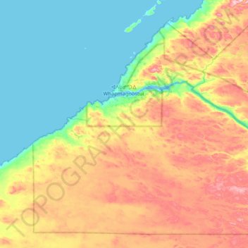
Nombre: Mapa topográfico Whapmagoostui (Category I Land), altitud, relieve.
Altitud media: 91 m
Altitud mínima: -1 m
Altitud máxima: 258 m