
Mapa topográfico Nicksville
Mapa interactivo
Haga clic en el mapa para ver la altitud.
Acerca de este mapa
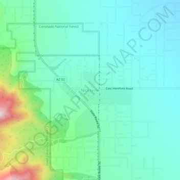
Nombre: Mapa topográfico Nicksville, altitud, relieve.
Altitud media: 1,483 m
Altitud mínima: 1,387 m
Altitud máxima: 1,824 m
Nicksville is a populated place in Cochise County, Arizona, just north of the international border between the United States and Mexico. It has an estimated elevation of 4,816 feet (1,468 m) above sea level.