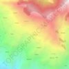
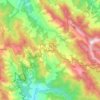
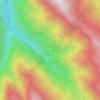
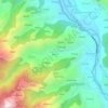
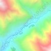
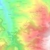
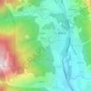
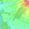
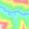
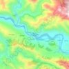
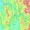
Mapa topográfico Rohru
Haga clic en el mapa para ver la altitud.
Acerca de este mapa

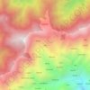
Nombre: Mapa topográfico Rohru, altitud, relieve.
Lugar: Rohru, Shimla, Himachal Pradesh, 171207, India (31.13257 77.61824 31.31823 77.81887)
Altitud media: 2,278 m
Altitud mínima: 1,411 m
Altitud máxima: 3,768 m
Otros mapas topográficos
Haga clic en un mapa para ver su topografía, su altitud y su relieve.

Shimla
Shimla is on the south-western ranges of the Himalayas at 31°37′N 77°06′E / 31.61°N 77.10°E / 31.61; 77.10. It has an average altitude of 2,206 metres (7,238 ft) above mean sea level and extends along a ridge with seven spurs. The city stretches nearly 9.2 kilometres (5.7 mi) from east to west.
Altitud media: 1,557 m
Dharamshala
India > Himachal Pradesh > Dharamshala
Dharamshala has an average elevation of 1,457 m (4,780 ft), covering an area of almost 8.51 km2 (3.29 sq mi). Dharamsala is located in the Kangra Valley, in the shadow of the Dhauladhar mountains.
Altitud media: 1,781 m








Jutogh
India > Himachal Pradesh > Shimla
Jutogh is located at 31°06′N 77°07′E / 31.1°N 77.12°E / 31.1; 77.12 near Totu, an important suburb of Shimla city. It has an average elevation of 1729 metres (5673 feet), a total green area of 112.62 Acres, and a public garden known as Cantt. Board Public Garden.
Altitud media: 1,785 m


Nurpur
India > Himachal Pradesh > Nurpur
Nurpur is located at 32°18′N 75°54′E / 32.3°N 75.9°E / 32.3; 75.9. It has an average elevation of 643 metres (2109 feet).
Altitud media: 536 m