
Mapa topográfico Timenguache
Mapa interactivo
Haga clic en el mapa para ver la altitud.
Acerca de este mapa
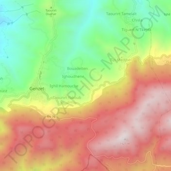
Nombre: Mapa topográfico Timenguache, altitud, relieve.
Lugar: Timenguache, Guenzet, Daïra Guenzet, Sétif, Algérie (36.29986 4.83123 36.33986 4.87123)
Altitud media: 1,106 m
Altitud mínima: 676 m
Altitud máxima: 1,515 m
Otros mapas topográficos
Haga clic en un mapa para ver su topografía, su altitud y su relieve.
Ikhlidjen
Algérie > Sétif > Daïra Guenzet > Guenzet
Ikhlidjen, Guenzet, Daïra Guenzet, Sétif, Algérie
Altitud media: 822 m
Ighil Lekhmis
Algérie > Sétif > Daïra Guenzet > Guenzet > Ighil Lekhmis
Ighil Lekhmis, Guenzet, Daïra Guenzet, Sétif, Algérie
Altitud media: 1,011 m