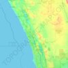
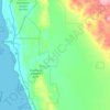
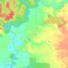
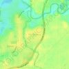
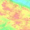
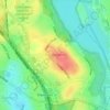
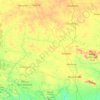
Mapa topográfico Mandurah
Haga clic en el mapa para ver la altitud.
Acerca de este mapa

Nombre: Mapa topográfico Mandurah, altitud, relieve.
Lugar: Mandurah, Western Australia, 6210, Australia (-32.69025 115.56088 -32.37025 115.88088)
Altitud media: 5 m
Altitud mínima: -4 m
Altitud máxima: 60 m
Otros mapas topográficos
Haga clic en un mapa para ver su topografía, su altitud y su relieve.








Ellenbrook
The suburb sits in the south-east corner of the Gnangara Mound, close to the Darling Scarp. Topographically, the majority of Ellenbrook's area sits between 40-50 metres above sea level on the mound, with parts of Coolamon and Malvern Springs situated on hills that reach peaks of 65 metres. The northern village…
Altitud media: 49 m




Mount Barker
The peak of Mount Barker lies 3.5 kilometres (2.2 mi) southwest of the town centre, and reaches an elevation of 404 metres (1,325 ft) above sea level. A sealed road leads to the base of a radio and television tower on the summit of the hill. The tower was constructed to a height of 168 metres (551 ft) in 1966,…
Altitud media: 211 m