
Mapa topográfico Ellis Park
Mapa interactivo
Haga clic en el mapa para ver la altitud.
Ellis Park
Adelaide is a planned city, and the Adelaide Park Lands are an integral part of Colonel William Light's 1837 plan. Light chose a site spanning the River Torrens (known as Yatala by the Kaurna people), and planned the city to fit the topography of the landscape, "on rising ground".
Acerca de este mapa
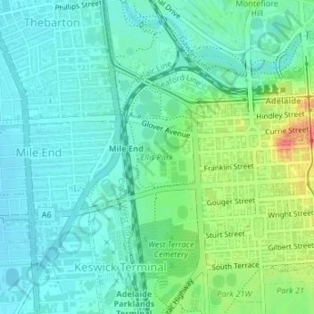
Nombre: Mapa topográfico Ellis Park, altitud, relieve.
Altitud media: 33 m
Altitud mínima: 16 m
Altitud máxima: 77 m