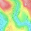
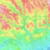
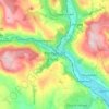
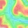
Mapa topográfico Llantrisant
Haga clic en el mapa para ver la altitud.
Llantrisant
Llantrisant (Welsh pronunciation: [ɬanˈtrɪsant]; "Parish of the Three Saints") is a town and community in the county borough of Rhondda Cynon Taf, Wales. It lies within the historic county boundaries of Glamorgan, on the River Ely and the Afon Clun. The three saints of the town's name are Illtyd, Gwynno, and Dyfodwg. Llantrisant is a hilltop settlement, at an altitude of 174 m (571 ft) above sea level. The town is home to the Royal Mint.
Acerca de este mapa
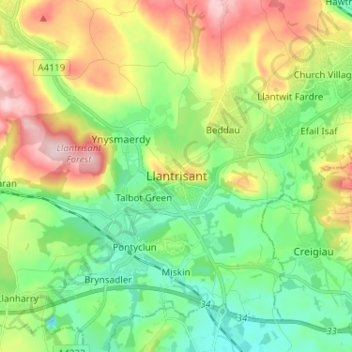
Nombre: Mapa topográfico Llantrisant, altitud, relieve.
Altitud media: 104 m
Altitud mínima: 16 m
Altitud máxima: 258 m
Otros mapas topográficos
Haga clic en un mapa para ver su topografía, su altitud y su relieve.