
Haz una donación
Mapa topográfico Cloudcroft
Haga clic en el mapa para ver la altitud.
Haz una donación
Cloudcroft
Cloudcroft is a village in Otero County, New Mexico, United States, and is located within the Lincoln National Forest. The population was 674 at the 2010 census. Despite being located in an otherwise arid region, its high elevation (8,676 feet (2,644 m); one of the highest in the U.S.) allows for a mild summer that makes it a popular tourist attraction in west Texas and southern New Mexico. It was named by Fodor's in 2002 as the Number 3 "Most Overlooked and Underrated Destination Spot." Tourism remains the primary economic driver of the village.
Haz una donación
Acerca de este mapa
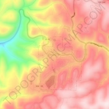
Nombre: Mapa topográfico Cloudcroft, altitud, relieve.
Lugar: Cloudcroft, Otero County, New Mexico, 88317, United States (32.93766 -105.76272 32.97766 -105.72272)
Altitud media: 2,636 m
Altitud mínima: 2,352 m
Altitud máxima: 2,776 m
Haz una donación