
Mapa topográfico Llangorse Lake
Mapa interactivo
Haga clic en el mapa para ver la altitud.
Llangorse Lake
The lake is a Site of Special Scientific Interest (SSSI) and has long been regarded as a place where fish and birds are found in unusually high numbers. Gerald of Wales (Giraldus Cambrensis) mentioned the abundance of waterfowl in his topographical work, The Description of Wales in the 12th century. It is a Special Area of Conservation (under the EU Habitats Directive) as an example of a natural nutrient-rich lake with pondweeds.
Acerca de este mapa
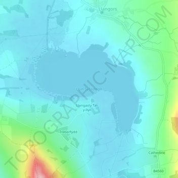
Nombre: Mapa topográfico Llangorse Lake, altitud, relieve.
Lugar: Llangorse Lake, Llangors, Powys, Wales, United Kingdom (51.92203 -3.27606 51.93548 -3.25056)
Altitud media: 177 m
Altitud mínima: 150 m
Altitud máxima: 327 m