
Mapa topográfico Bethel
Mapa interactivo
Haga clic en el mapa para ver la altitud.
Acerca de este mapa
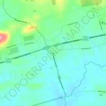
Nombre: Mapa topográfico Bethel, altitud, relieve.
Altitud media: 170 m
Altitud mínima: 145 m
Altitud máxima: 254 m
Otros mapas topográficos
Haga clic en un mapa para ver su topografía, su altitud y su relieve.
Frystown
United States > Pennsylvania > Berks County > Bethel Township
Frystown, Bethel Township, Berks County, Pennsylvania, 19506, United States
Altitud media: 152 m
Schubert
United States > Pennsylvania > Berks County > Bethel Township
Schubert, Bethel Township, Berks County, Pennsylvania, 19559, United States
Altitud media: 216 m