
Gracias por apoyar a este sitio ❤️
Haz una donación
Haz una donación
Mapa topográfico Thawi Watthana District
Haga clic en el mapa para ver la altitud.
Gracias por apoyar a este sitio ❤️
Haz una donación
Haz una donación
Acerca de este mapa
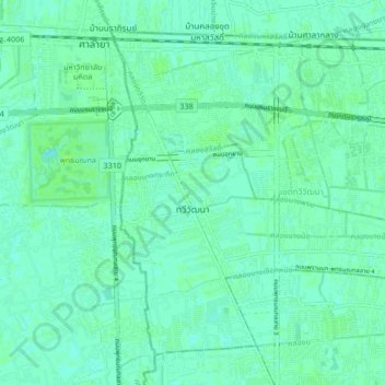
Nombre: Mapa topográfico Thawi Watthana District, altitud, relieve.
Lugar: Thawi Watthana District, Bangkok, 10170, Thailand (13.73609 100.32788 13.80418 100.41104)
Altitud media: 4 m
Altitud mínima: 0 m
Altitud máxima: 7 m
Gracias por apoyar a este sitio ❤️
Haz una donación
Haz una donación
Otros mapas topográficos
Haga clic en un mapa para ver su topografía, su altitud y su relieve.
Bangkok
Bangkok is situated in the Chao Phraya River delta in Thailand's central plain. The river meanders through the city in a southerly direction, emptying into the Gulf of Thailand approximately 25 kilometres (16 mi) south of city centre. The area is flat and low-lying, with an average elevation of 1.5 metres (4…
Altitud media: 4 m
Gracias por apoyar a este sitio ❤️
Haz una donación
Haz una donación