Mapa topográfico Rongo
Mapa interactivo
Haga clic en el mapa para ver la altitud.
Acerca de este mapa
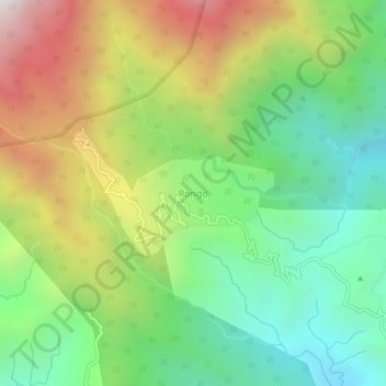
Nombre: Mapa topográfico Rongo, altitud, relieve.
Lugar: Rongo, Gorubathan, Kalimpong district, West Bengal, India (27.01856 88.81588 27.05856 88.85588)
Altitud media: 1,030 m
Altitud mínima: 480 m
Altitud máxima: 1,892 m
Otros mapas topográficos
Haga clic en un mapa para ver su topografía, su altitud y su relieve.
Todey
India > West Bengal > Gorubathan
Todey, Gorubathan, Kalimpong District, West Bengal, India
Altitud media: 1,325 m
Neora Valley National Park
India > West Bengal > Gorubathan > Rongo
Neora Valley National Park, Rongo, Gorubathan, Kalimpong district, West Bengal, India
Altitud media: 1,309 m