
Mapa topográfico Alturas
Mapa interactivo
Haga clic en el mapa para ver la altitud.
Acerca de este mapa
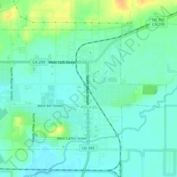
Nombre: Mapa topográfico Alturas, altitud, relieve.
Altitud media: 1,337 m
Altitud mínima: 1,327 m
Altitud máxima: 1,358 m
Alturas is located on the Pit River, east of the center of Modoc County, at an elevation of 4370 feet (1332 m). As the county seat, the town is a home to regional government offices, including a California Highway Patrol office and a state Department of Motor Vehicles office.