
Mapa topográfico Ravensdale
Mapa interactivo
Haga clic en el mapa para ver la altitud.
Acerca de este mapa
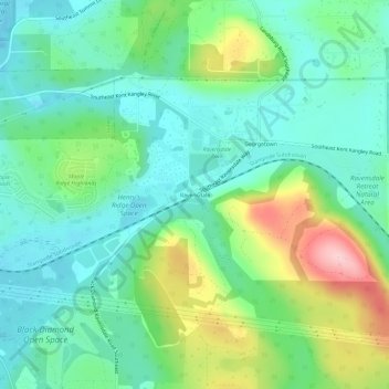
Nombre: Mapa topográfico Ravensdale, altitud, relieve.
Lugar: Ravensdale, King County, Washington, 98010, United States (47.33232 -122.00373 47.37232 -121.96373)
Altitud media: 224 m
Altitud mínima: 166 m
Altitud máxima: 366 m
Ravensdale is located in southern King County at 47°21′24″N 121°58′39″W / 47.35667°N 121.97750°W / 47.35667; -121.97750. It is bordered to the west by the city of Maple Valley. Ravensdale is 28 miles (45 km) southeast of downtown Seattle and the same distance northeast of Tacoma. It is situated at an elevation of 623 feet (190 m).