
Mapa topográfico Donnelly
Mapa interactivo
Haga clic en el mapa para ver la altitud.
Acerca de este mapa
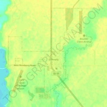
Nombre: Mapa topográfico Donnelly, altitud, relieve.
Lugar: Donnelly, Valley County, Idaho, United States (44.72257 -116.09364 44.74549 -116.06739)
Altitud media: 1,483 m
Altitud mínima: 1,469 m
Altitud máxima: 1,488 m
Donnelly is located at 44°43′49″N 116°4′37″W / 44.73028°N 116.07694°W / 44.73028; -116.07694, at an elevation of 4,865 feet (1,483 m) above sea level. According to the United States Census Bureau, the city has a total area of 0.45 square miles (1.17 km2), all of it land.
Otros mapas topográficos
Haga clic en un mapa para ver su topografía, su altitud y su relieve.
Cascade
United States > Idaho > Valley County
Cascade, Valley County, Idaho, 83611, United States
Altitud media: 1,478 m
McCall
United States > Idaho > Valley County
McCall, Valley County, Idaho, 83638, United States
Altitud media: 1,546 m