
Haz una donación
Mapa topográfico Dadhera
Haga clic en el mapa para ver la altitud.
Haz una donación
Acerca de este mapa
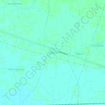
Nombre: Mapa topográfico Dadhera, altitud, relieve.
Lugar: Dadhera, Patiala Tahsil, Patiala, Punjab, India (30.33814 76.27310 30.37814 76.31310)
Altitud media: 253 m
Altitud mínima: 250 m
Altitud máxima: 255 m
Haz una donación
Otros mapas topográficos
Haga clic en un mapa para ver su topografía, su altitud y su relieve.
Patiala
India > Punjab > Patiala Tahsil
Patiala is located at 30°19′N 76°24′E / 30.32°N 76.40°E / 30.32; 76.40. It has an average elevation of 250 metres (820 feet). During the short existence of PEPSU, Patiala served as its capital city.
Altitud media: 255 m
Patiala
India > Punjab > Patiala Tahsil
Patiala is located at 30°19′N 76°24′E / 30.32°N 76.40°E / 30.32; 76.40. It has an average elevation of 250 metres (820 feet). During the short existence of PEPSU, Patiala served as its capital city.
Altitud media: 255 m