
Mapa topográfico North European Plain
Mapa interactivo
Haga clic en el mapa para ver la altitud.
North European Plain
Elevations vary between 0 and 200 m (0 to about 650 ft). While mostly used as farmland, the region also contains bogs, heath and lakes. The Wadden Sea, a large tidal area, is located on the North Sea coast.
Acerca de este mapa
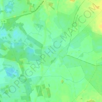
Nombre: Mapa topográfico North European Plain, altitud, relieve.
Altitud media: 54 m
Altitud mínima: 44 m
Altitud máxima: 65 m