
Mapa topográfico Jurong River
Mapa interactivo
Haga clic en el mapa para ver la altitud.
Acerca de este mapa
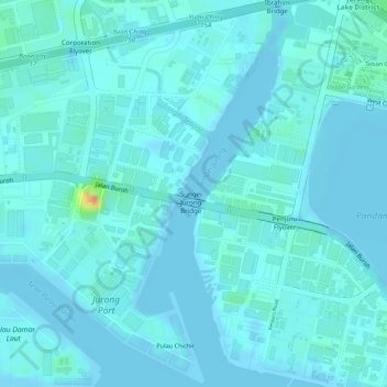
Nombre: Mapa topográfico Jurong River, altitud, relieve.
Lugar: Jurong River, Jurong East, Southwest, Singapore (1.30026 103.72323 1.32637 103.73413)
Altitud media: 7 m
Altitud mínima: -2 m
Altitud máxima: 52 m
Otros mapas topográficos
Haga clic en un mapa para ver su topografía, su altitud y su relieve.
Pandan Reservoir
Singapore > Southwest > Jurong East
Pandan Reservoir, Jurong East, Southwest, Singapore
Altitud media: 6 m