
Mapa topográfico Hart-Miller Island
Mapa interactivo
Haga clic en el mapa para ver la altitud.
Acerca de este mapa
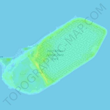
Nombre: Mapa topográfico Hart-Miller Island, altitud, relieve.
Lugar: Hart-Miller Island, Towson, Baltimore County, Maryland, USA (39.23777 -76.38660 39.26174 -76.34401)
Altitud media: 2 m
Altitud mínima: -2 m
Altitud máxima: 13 m
Otros mapas topográficos
Haga clic en un mapa para ver su topografía, su altitud y su relieve.
Loch Raven Reservoir
Loch Raven Reservoir, Dulaney Valley Road, Towson, Baltimore County, Maryland, 21093, USA
Altitud media: 113 m
Mingo Branch
United States > Maryland > Towson
Mingo Branch, Baltimore County, Maryland, 21120, United States
Altitud media: 173 m
The Bunker
The Bunker, Towson, Baltimore County, Maryland, USA
Altitud media: 152 m
Cromwell Valley Park
Cromwell Valley Park, Satyr Hill Estates, Towson, Baltimore County, Maryland, USA
Altitud media: 106 m