
Mapa topográfico Jimbolia
Mapa interactivo
Haga clic en el mapa para ver la altitud.
Acerca de este mapa
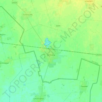
Nombre: Mapa topográfico Jimbolia, altitud, relieve.
Lugar: Jimbolia, Timiș, 305400, Romania (45.74893 20.65092 45.84548 20.86977)
Altitud media: 80 m
Altitud mínima: 73 m
Altitud máxima: 89 m
Jimbolia is located in the west of Timiș County, 39 km from Timișoara, with which it is connected by the county road 59A and the Kikinda–Jimbolia–Timișoara railway. It lies in the Banat Plain, at the contact between the Timiș Plain and the Mureș Plain. An alignment of villages marks the boundary between the two relief units: Checea–Cărpiniș–Satchinez. The average altitude of the town is 82 m. It is located at the intersection of some roads that connect Romania and Serbia, being also a rail and road border point at the frontier between the two countries.
Otros mapas topográficos
Haga clic en un mapa para ver su topografía, su altitud y su relieve.